
This views Appendix was produced with the assistance of AECOM.
Map WNP Area Designated views summary map
Introduction to viewing policy
1. Notes
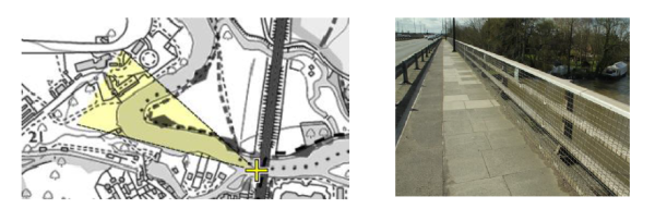
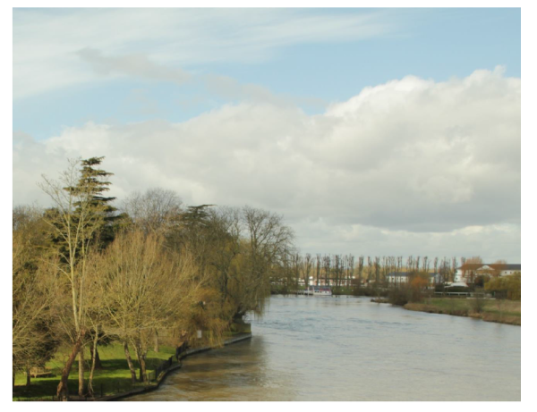
1.1. The focus of this view is both a) the main racetrack buildings and b) the river banks.
1.2. In the case of both foci, there is potential for view disruption from development in the Eton and Eton Wick Neighbourhood Plan area.
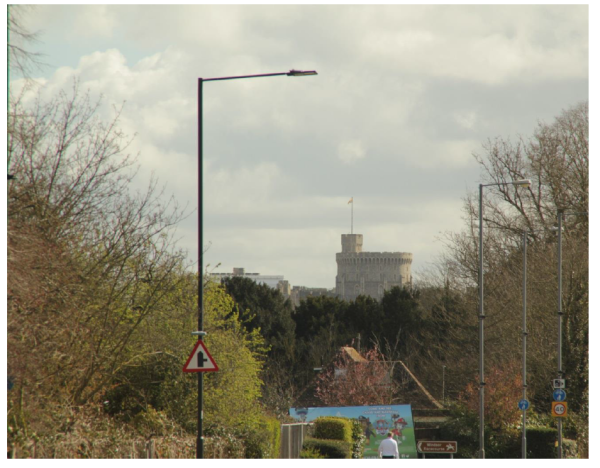
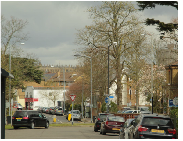
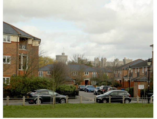
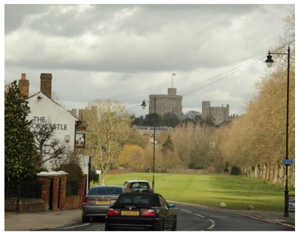
2. Notes
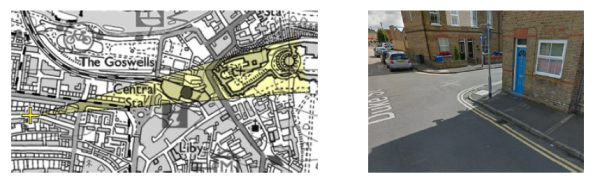
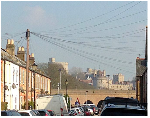
2.1. Windsor Castle is visible from the majority of Duke Street.
3. Notes
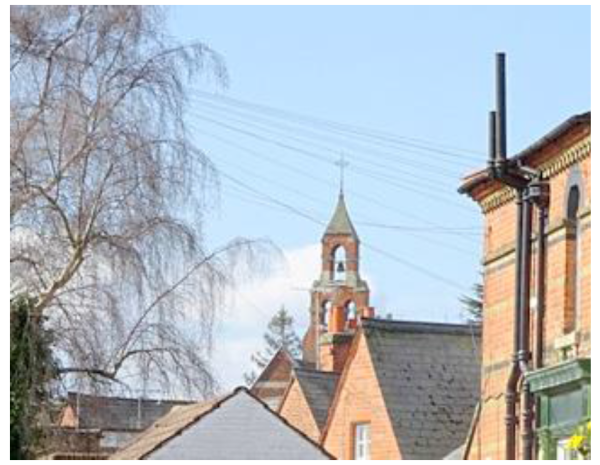
3.1. All Saints Church is visible from the majority of Helena Road.
4. Notes
4.1. Consider adding Neighbourhood Plan project of benches in the nearby park to reinforce this view point.
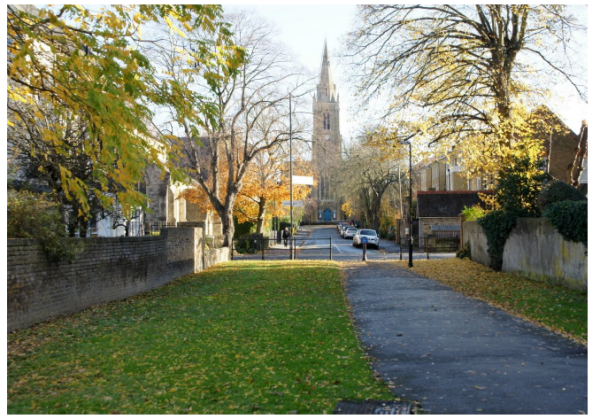
5. Notes
5.1. This view is predominantly concerned with development of either the footpath opposite Claremont Road or tall buildings to the rear of Holy Trinity Church.
6. Notes
6.1. One might consider tree-pruning initiatives to enhance to local view.
7. Notes
8. Notes
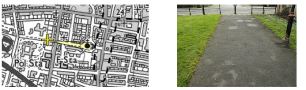
9. Notes
9.1. Not a particularly pedestrian friendly area. Potential Neighbourhood Plan project to improve with benches etc. if necessary.
10. Notes

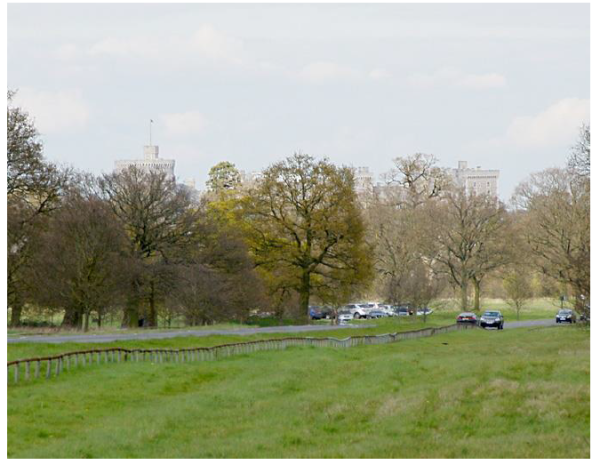
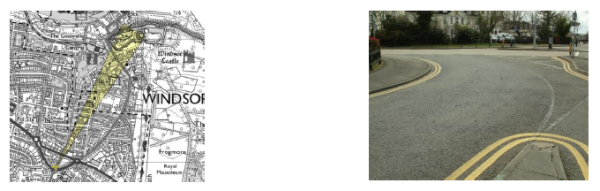
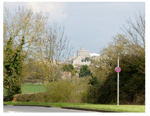
11. Notes
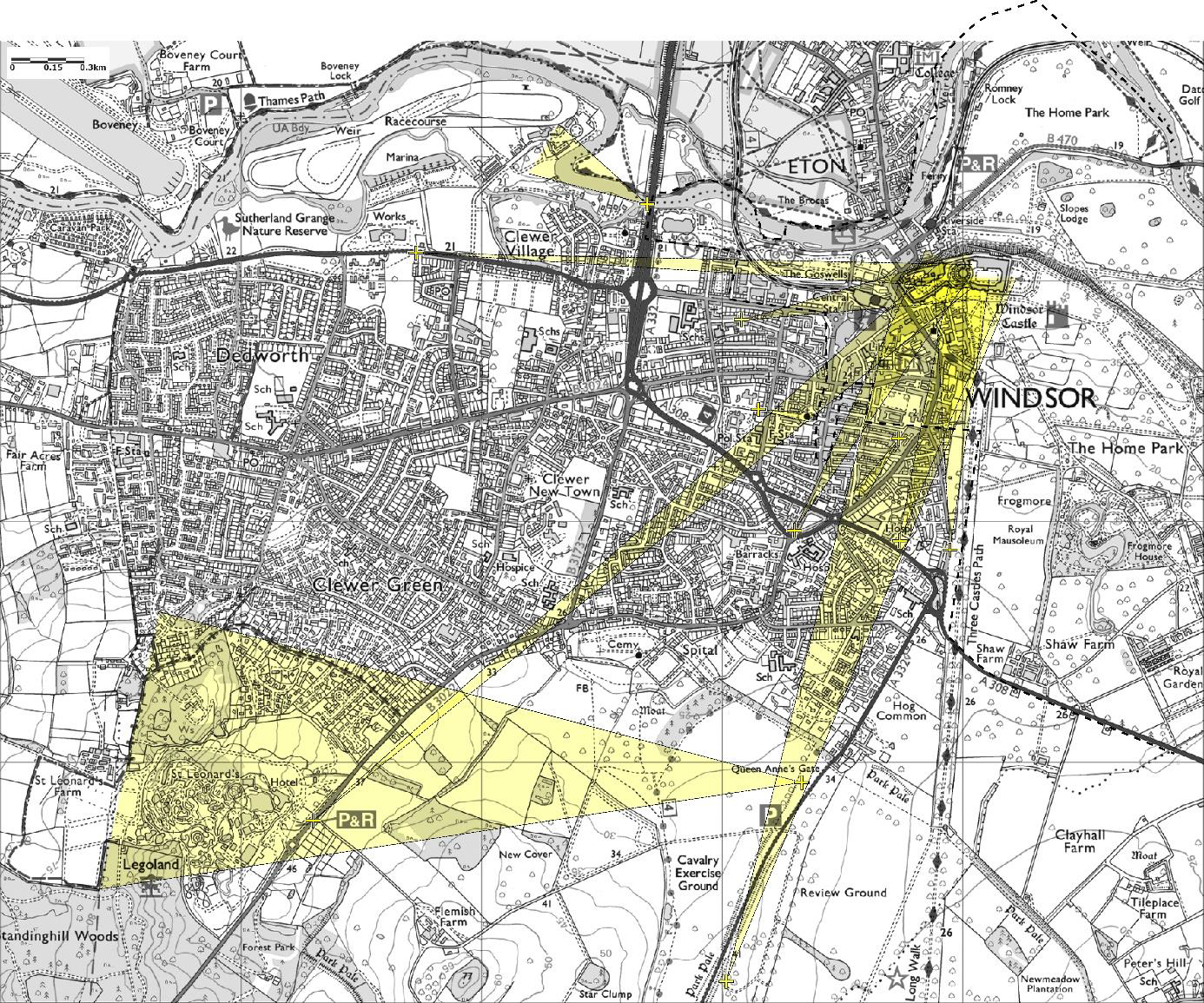
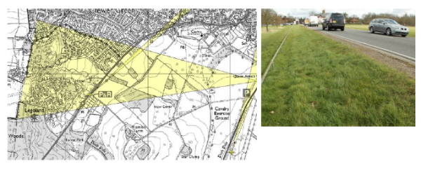
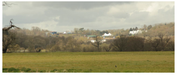
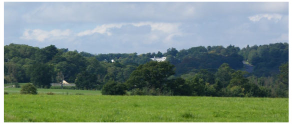
11.1. The viewing point runs from the Queen Anne’s Gate parking area on the A332 to the second parking area next to the cavalry exercise ground. The view of the St Leonard’s Hill landscape is visible from a whole area of the park including the large open and publicly accessible cavalry exercise ground as well as from along Sheet Street Road. It is the intention of the Neighbourhood Plan that the view of the landscape up to and across St Leonard’s Hill should be protected. The whole of St Leonard’s Hill has a blanket tree protection order. 11.2. The LEGOLAND park is part of this view, and although developments within the park are currently visible through and above the tree canopy, any future development should take into consideration this view.
11.3. It is proposed that (a) new development in this area should not detract adversely from the existing view to St Leonard’s Mansion and (b) surrounding development should not exceed the height of either the full growth summer tree line or roofline of St Leonard’s Mansion – whichever is lower. Tree cover is particularly important to maintain the almost wholly green appearance.
St Leonards Hill in winter 1
St Leonards Hill in summer
< Previous | ^ Top | Next >