
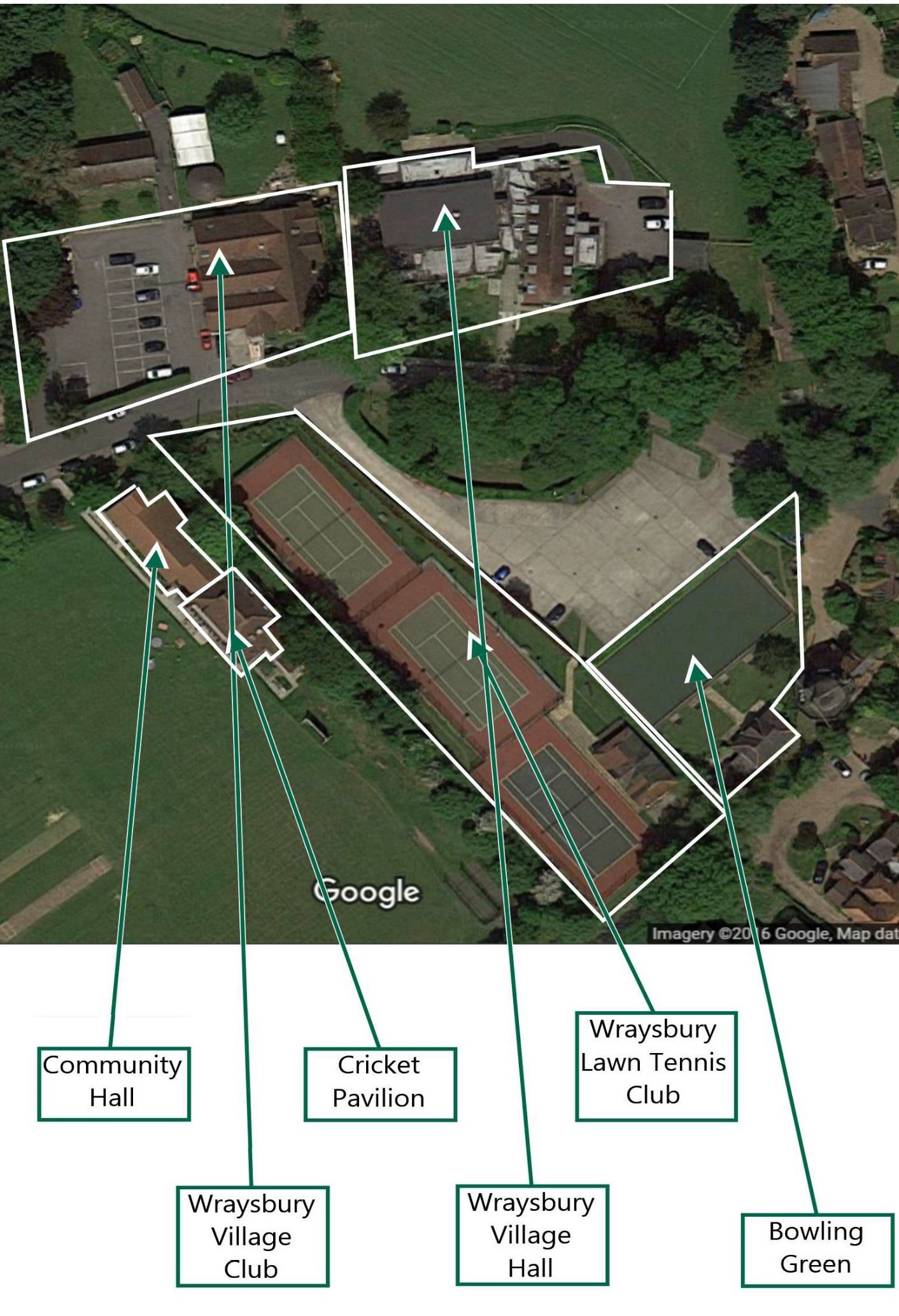
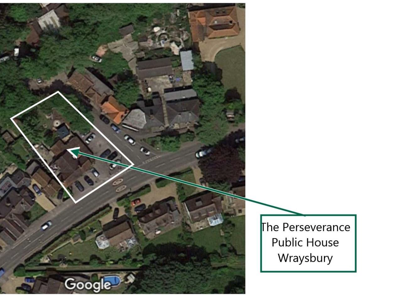
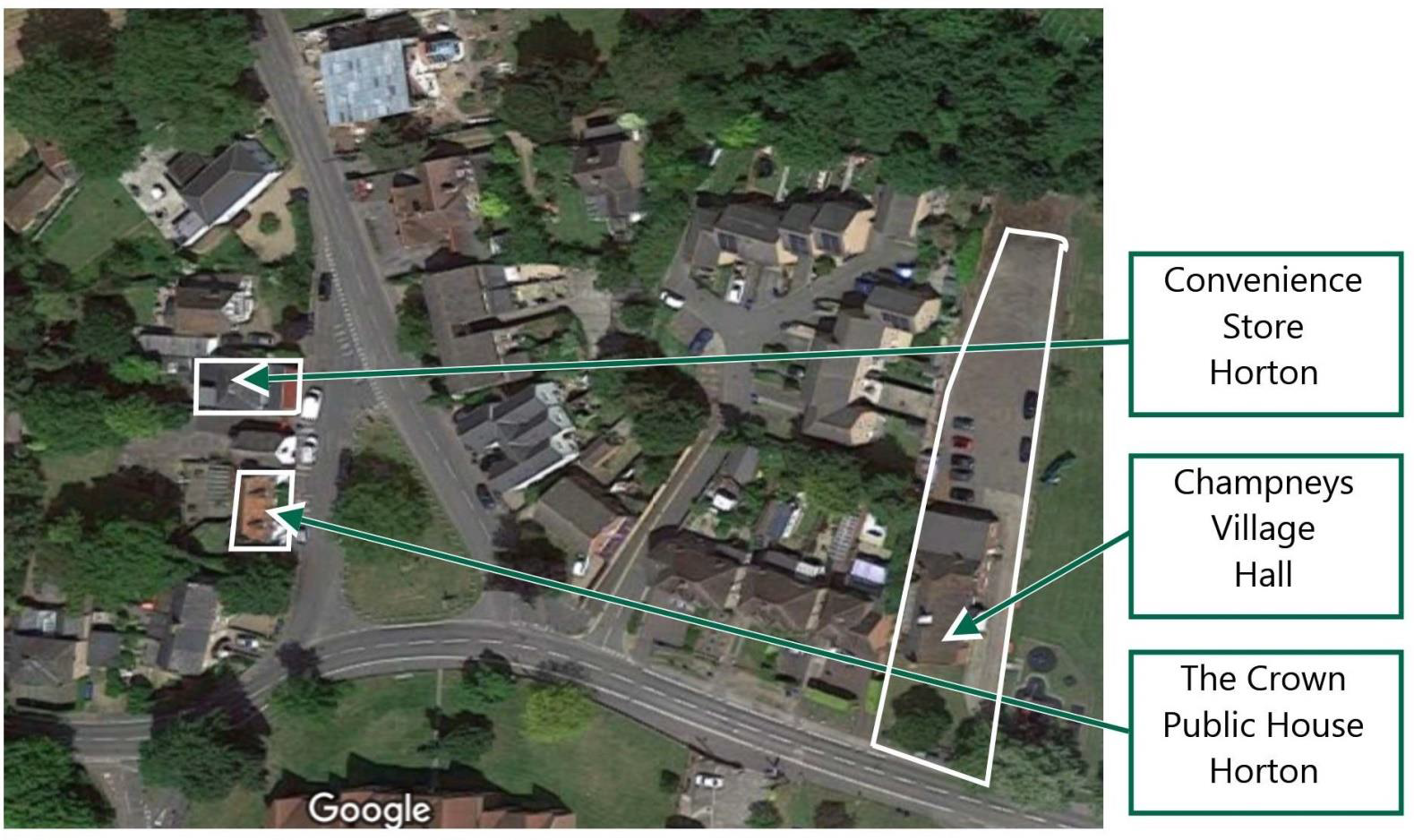
a) MAPS OF COMMUNITY FACILITIES
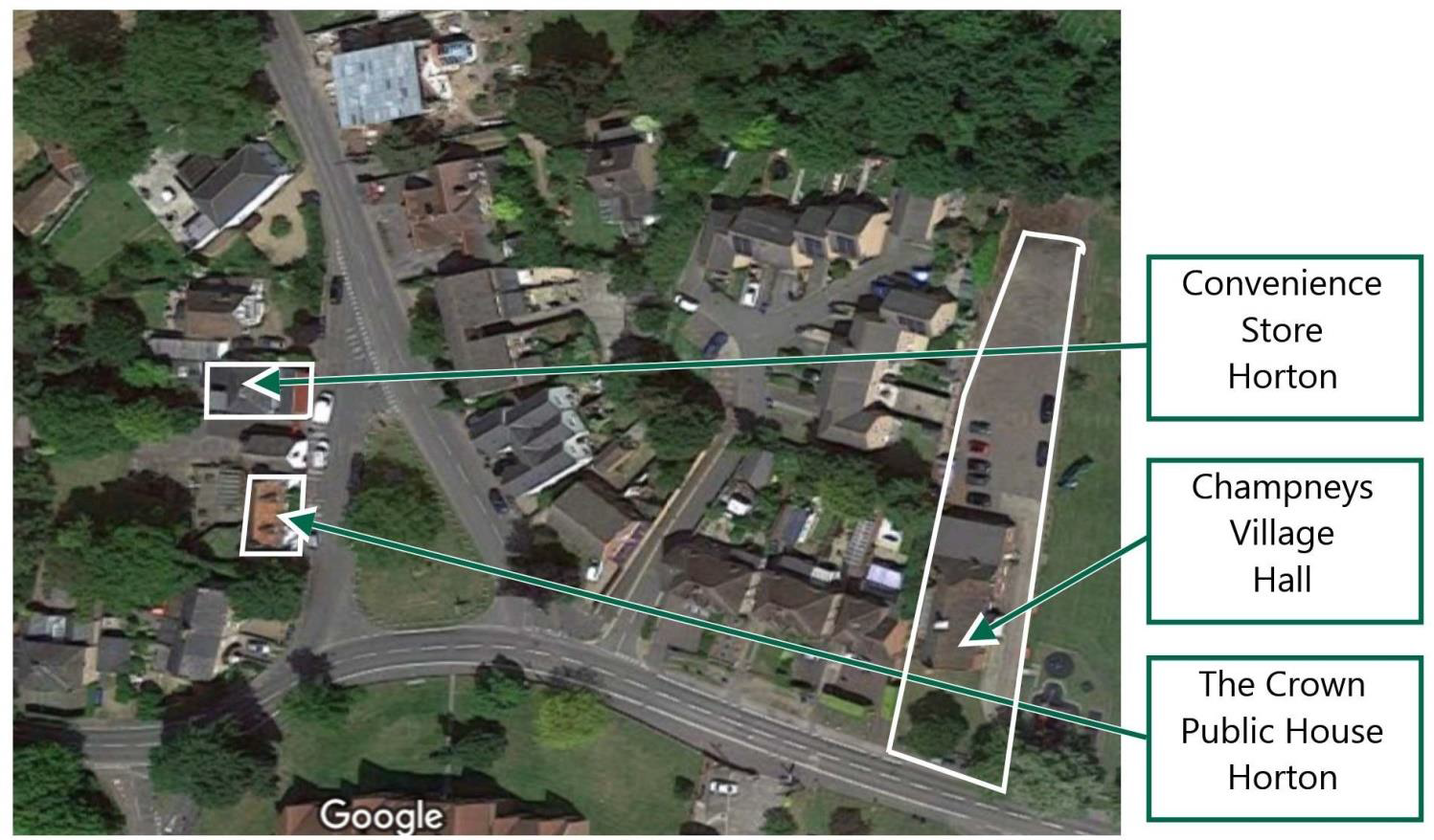
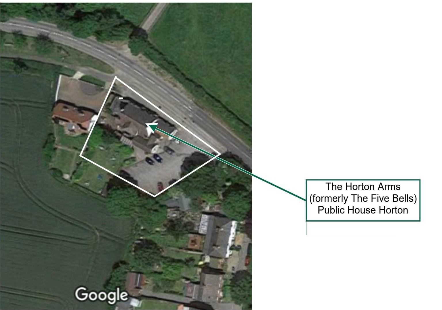
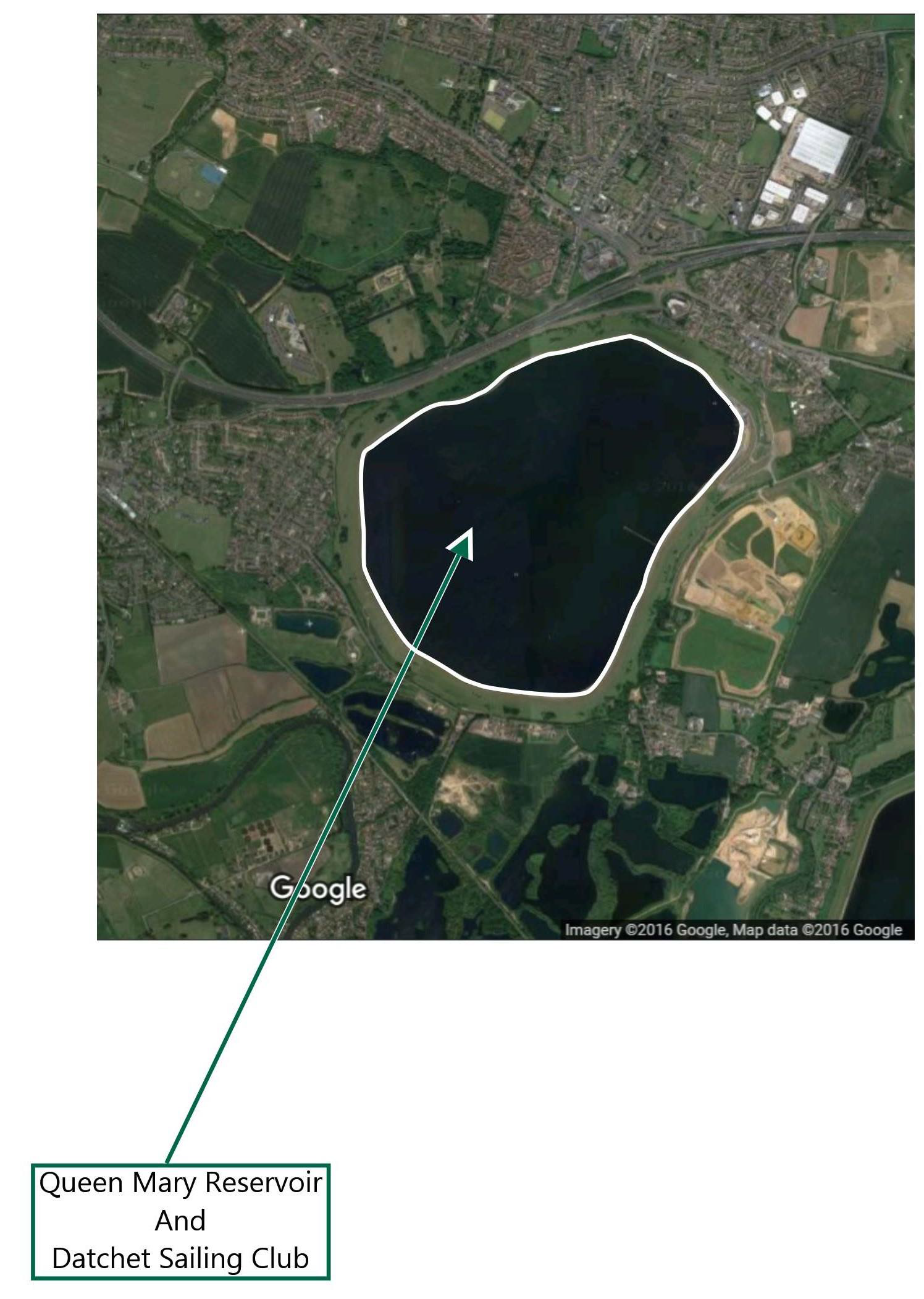
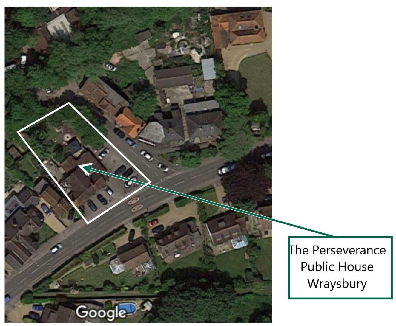
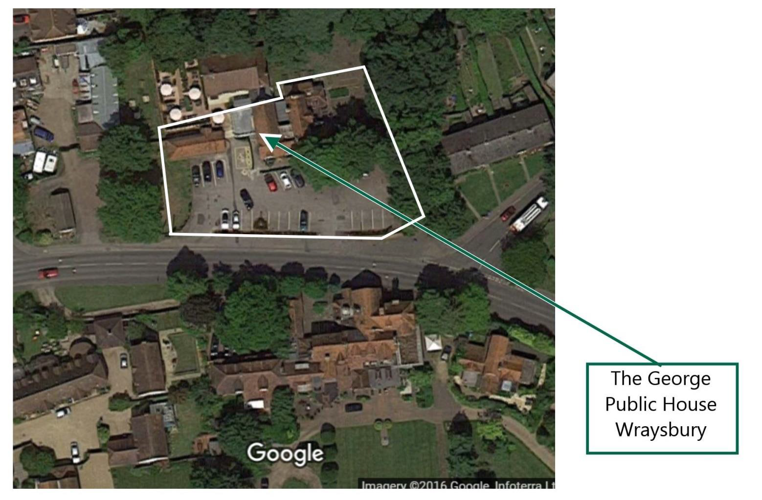
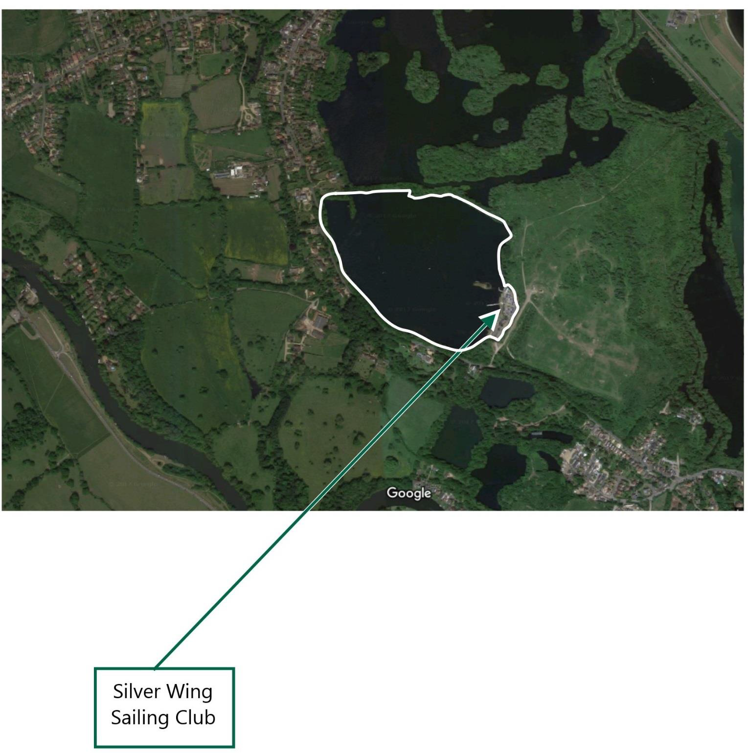
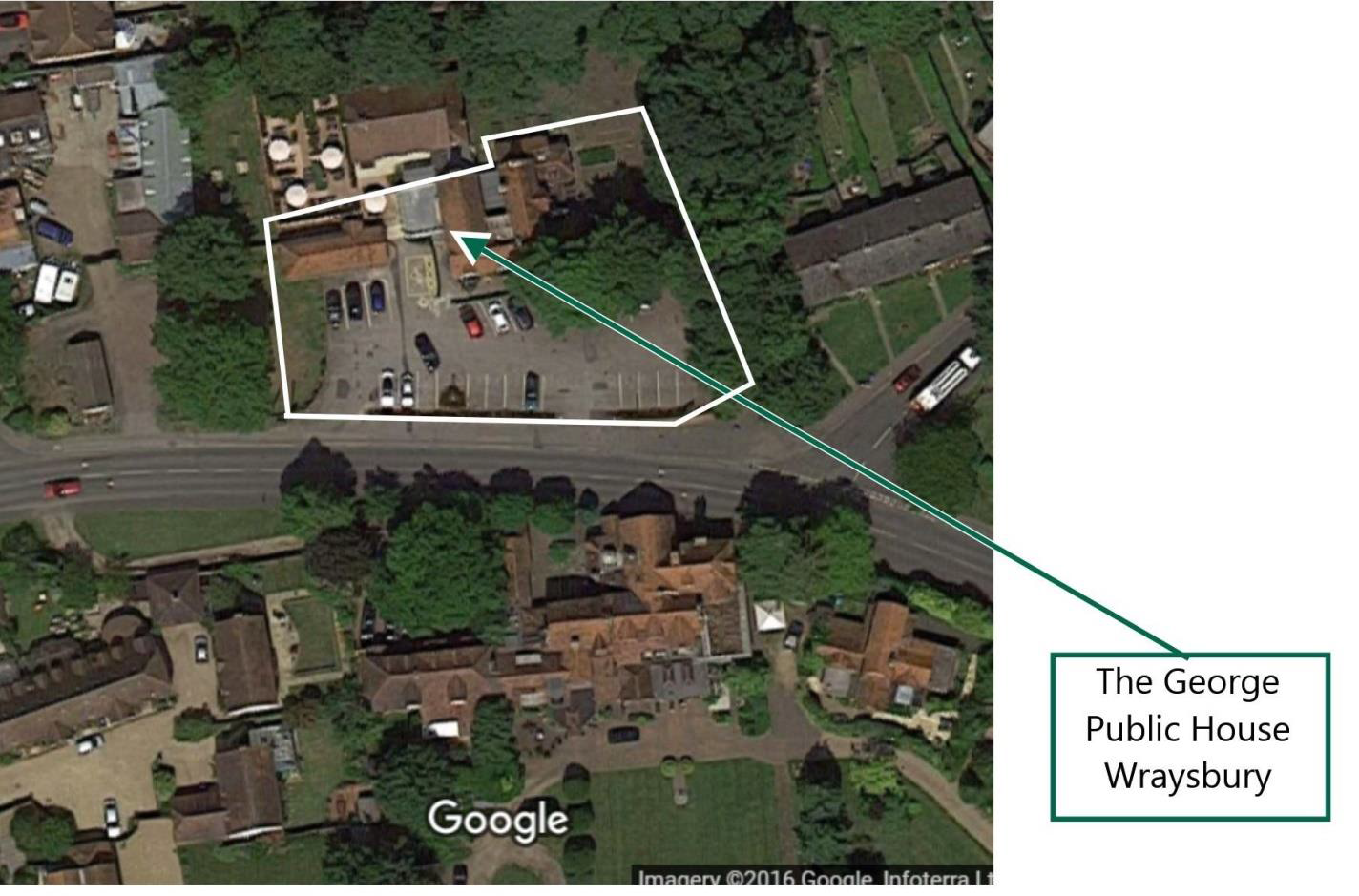
b) MAPS OF ASSETS OF VALUE TO THE COMMUNITY

c) CHARACTER ASSESSMENT
The Horton and Wraysbury Character Assessment was commissioned by both Horton and Wraysbury Parish Councils, initiated by Planning Aid England and fully developed by the Steering Committee. It also contains the RBWM Townscape Assessment relating to our area. The document provides an overview of the character and key qualities that define the built up areas of our Ward and will inform on the policies in the Neighbourhood Plan which will be used by the Royal Borough of Windsor & Maidenhead when considering planning applications submitted within the designated area.
The Assessment recognises that there are various areas that have distinct characteristics and these are identified in the document.
What is a character assessment?
A character assessment is a document that describes the distinct appearance and feel of a settlement or an area. It communicates the key physical features and characteristics that combine to give a particular settlement or an area its local distinctiveness and unique identity.
“A character assessment’s role is to help ensure that change and development does not undermine whatever is characteristic or valued about any particular landscape.” – Landscape Character Assessment Guidance for England and Scotland.
○ The Character Assessment should be read in conjunction with the Neighbourhood Plan and can be found on the Horton and Wraysbury Neighbourhood Plan website www.hwnp.co.uk.
d) DEVELOPMENT DETAILS
The Development Details shall include all relevant information needed to facilitate an informed and effective consultation, including but not limited to:
The Information Pack for developers is available via Wraysbury or Horton Parish Councils.
< Previous | ^ Top | Next >