< Previous | Next >
Appendix B: Detailed Maps and Supporting Photographs
Maps 7a – 7f: Gaps Between Villages
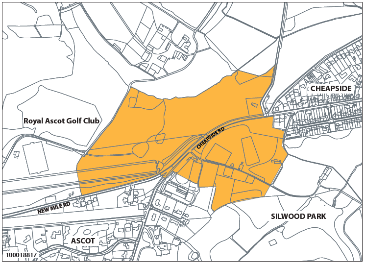
Map 7a: Gap – AAscot to Cheapside
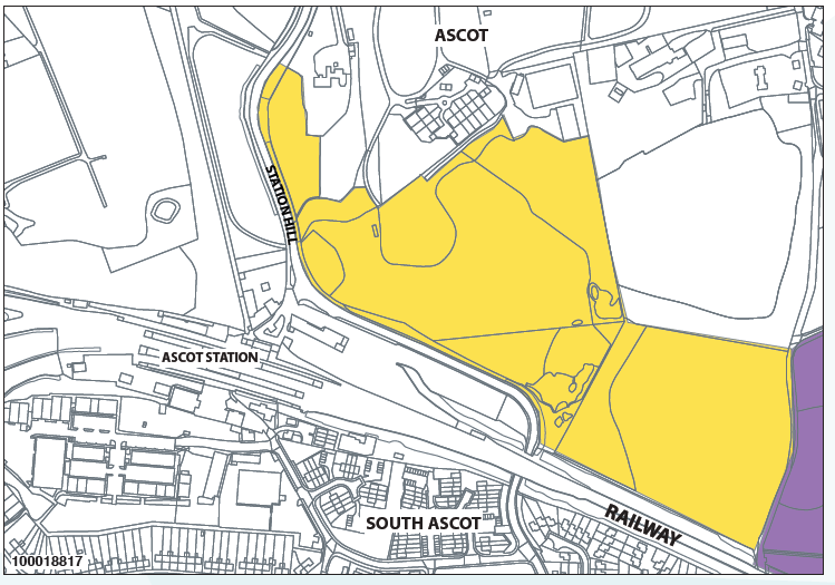
Map 7b: Gap – Ascot to South Ascot
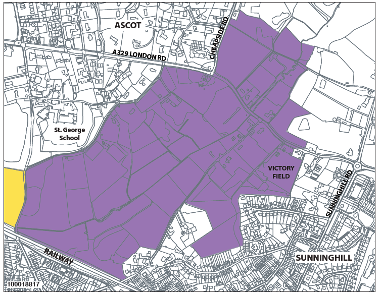
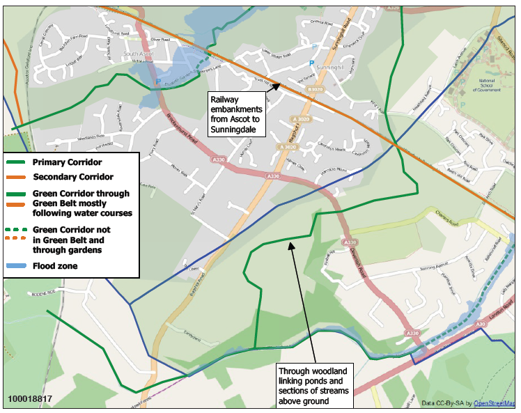
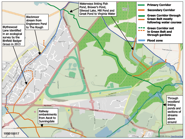
Map 7c: Gap – Ascot to Sunninghill
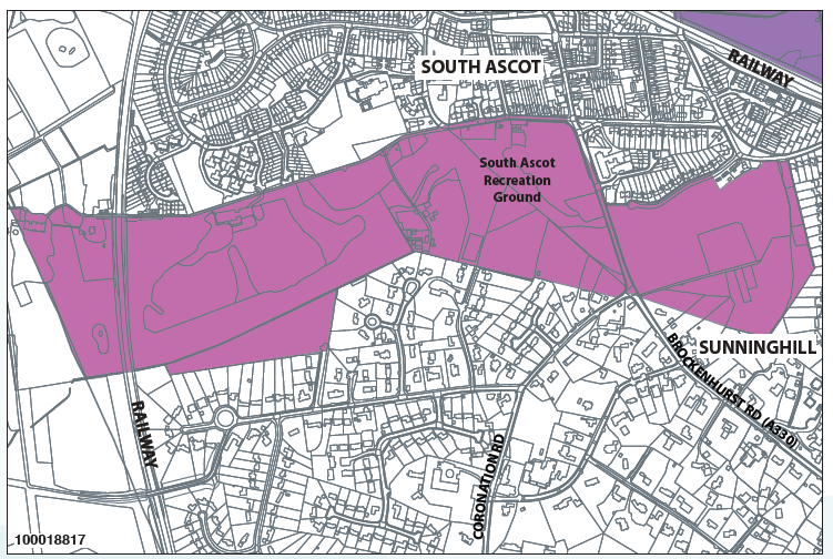
Map 7d: Gap – South Ascot to Sunninghill
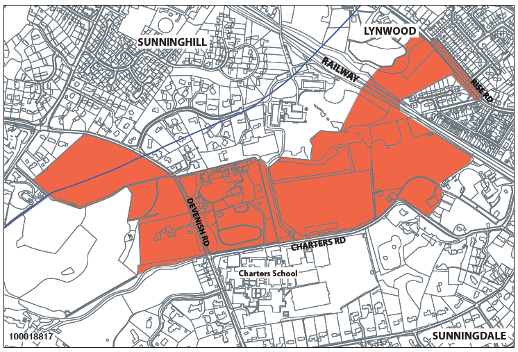
Map 7e: Gap – Sunninghill to Sunningdale
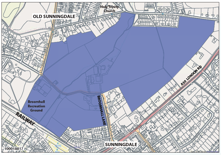
Map 7f: Gap – Old Sunningdale to Sunningdale
Maps 8a–8d: Larger Scale Maps of Green Corridors
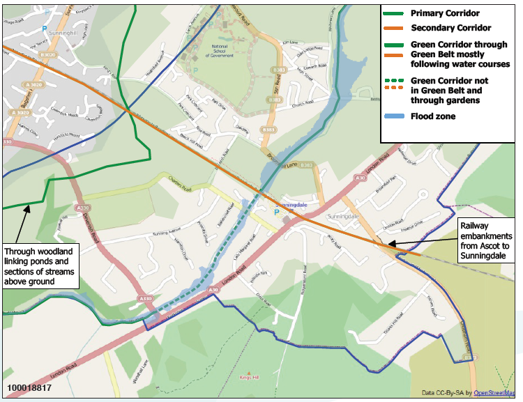
Map 8a: Green Corridors NE
Map 8b: Green Corridors SE
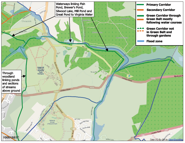
Map 8c: Green Corridors S&W
Map 8d: Green Corridors N&W
Maps 10a–10e: Landmark Views and Buildings
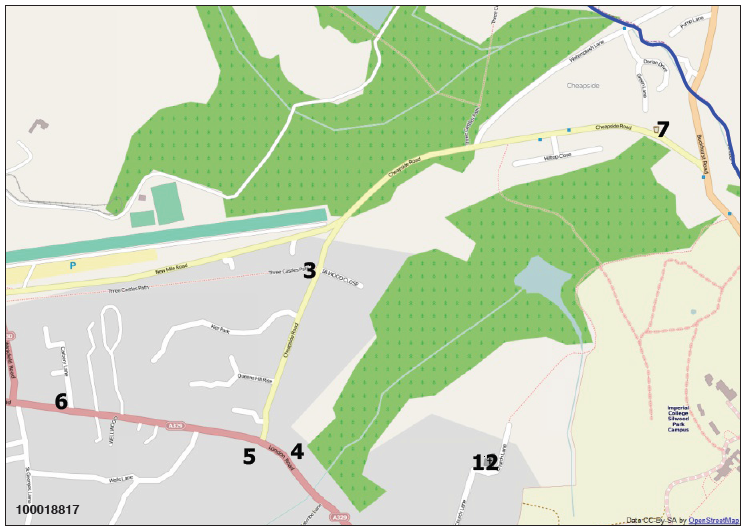
Map 10a: Ascot and Cheapside – Landmark Views and Buildings
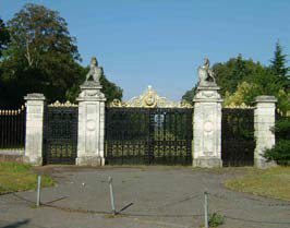
3a: Golden Gates, Cheapside Rd
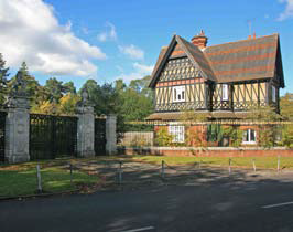
3b: Lodge at Golden Gates
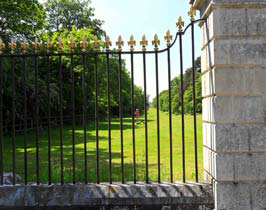
3c: View through Golden Gates, Cheapside Rd
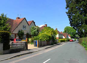
4: North of London Rd & Cheapside Road
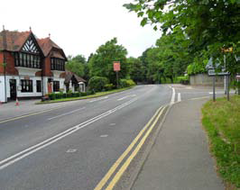
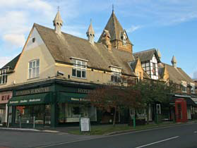
5a: The Mikado, Ascot
5b: View from Mikado towards Ascot
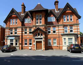
6: The Old Courthouse, Ascot
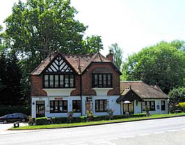
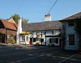
7: Thatched Tavern, Cheapside
Map 10b: North Ascot & Ascot – Landmark Views and Buildings
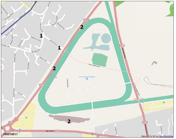
1a: Old Huntsman’s House
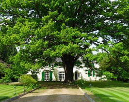
1b: Kennel Avenue to Old Huntsman’s House
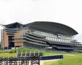
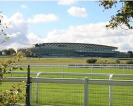
2a: Ascot Racecourse Grandstand
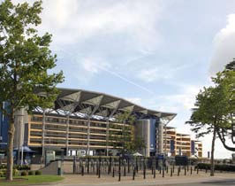
2b: Ascot Racecourse Grandstand
2c: Racecourse View from Windsor Road
Map 10c: South Ascot – Landmark Views and Buildings
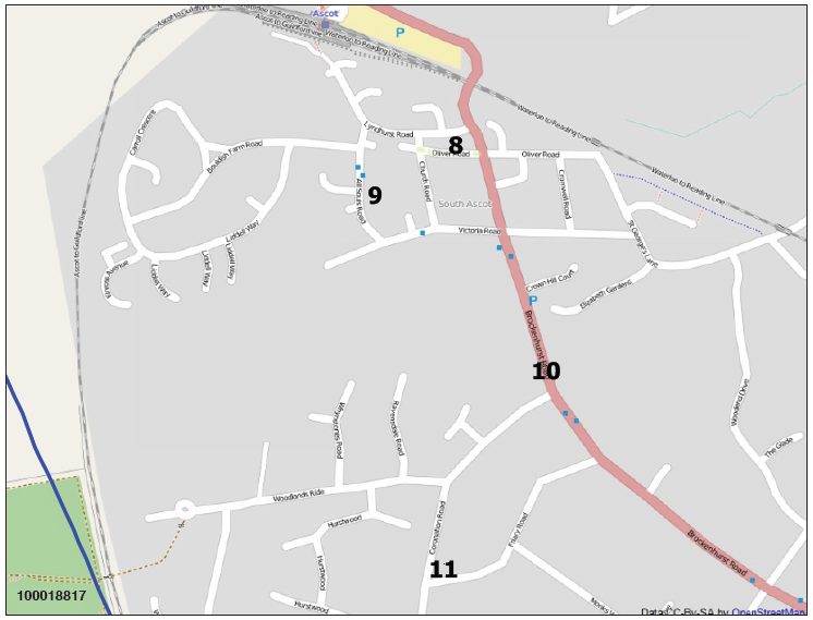
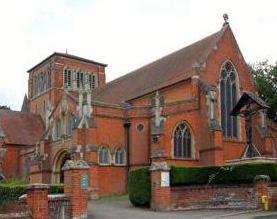
8: All Souls Church, South Ascot
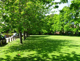
9: South Ascot Village Green
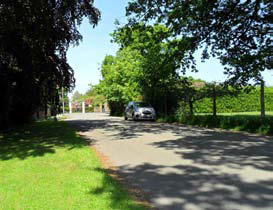
10a: View Entering South Ascot with Playing Fields on Left
10b: Southern Entrance to South Ascot
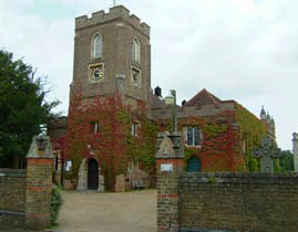
11: St Francis Church, South Ascot
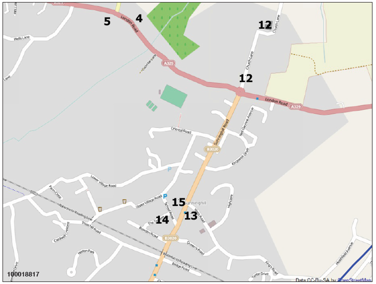
Map 10d: Sunninghill – Landmark Views and Buildings
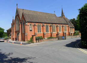
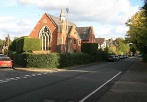
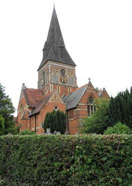
12a: St Michael’s & All Angels Church, Sunninghill
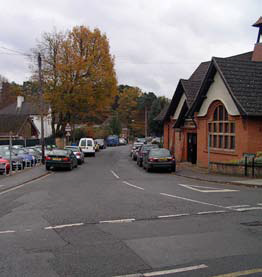
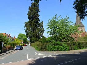
12b: Church Lane, Sunninghill
13a: Cordes Hall, Sunninghill
13b: Gateway View of Cordes Hall
13c: Cordes Hall and View into Sunninghill
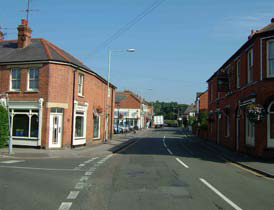
14: The Terrace, Sunninghill
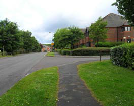
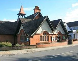
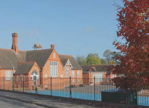
15: St Michael’s School, Sunninghill
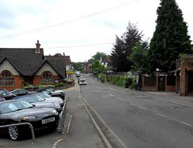
Map 10e: Sunningdale – Landmark Views and Buildings
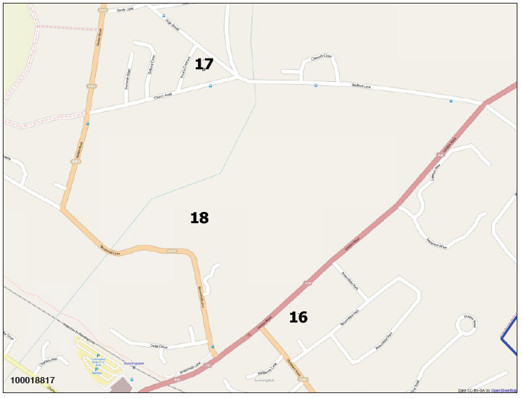
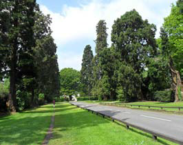
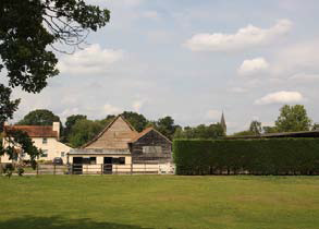
16: Broomfield Hall Stables
17a: Holy Trinity Church, Sunningdale
17b: Holy Trinity Church, Sunningdale
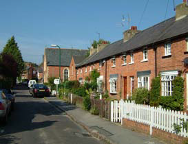
17c: Trinity Crescent, Sunningdale Village
17d: Trinity Crescent, Sunningdale Village
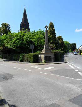
17e: War Memorial, Sunningdale Village
18a: Broomhall Stables
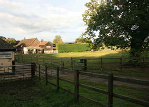
18b: View of Broomhall Stables
Maps 11a–11c: High Street Retail Frontages
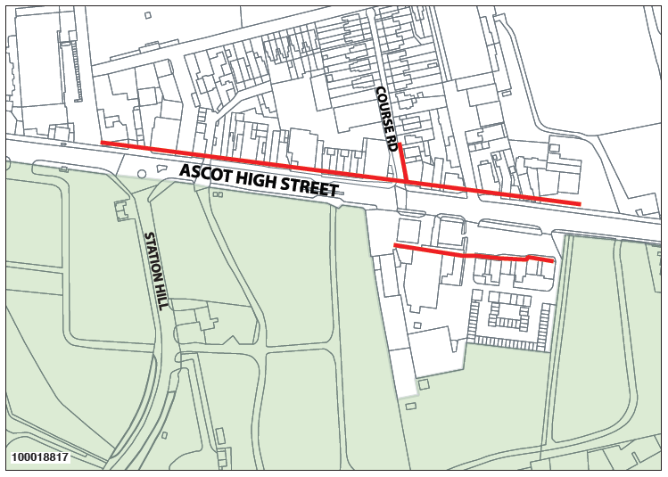
Map 11a: Ascot High Street Retail Frontage
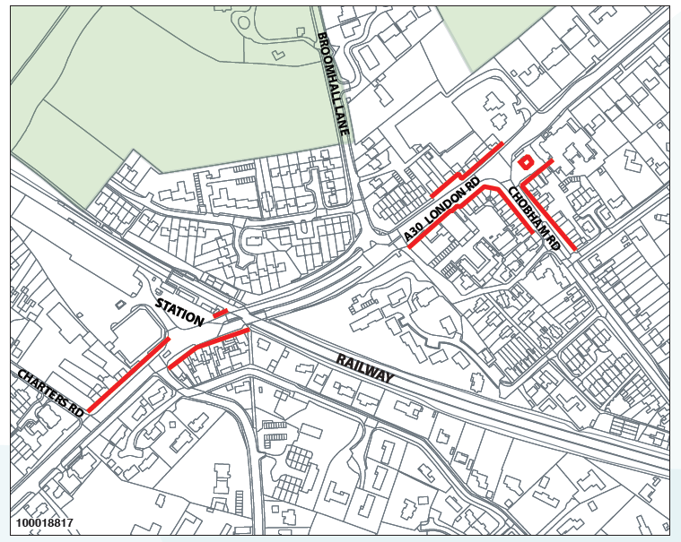
Map 11b: Sunningdale Retail Frontage
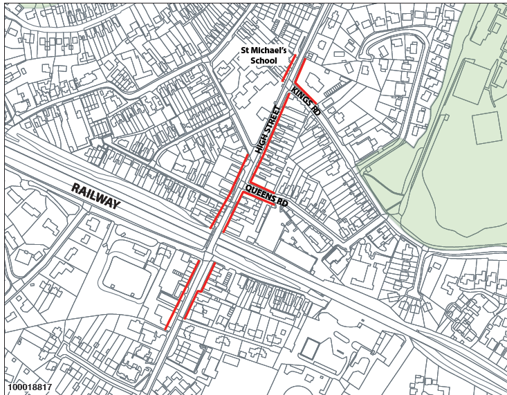
Map 11c: Sunninghill Retail Frontage
< Previous | ^ Top | Next >
